

Collection: Hamilton-Thayer Collection
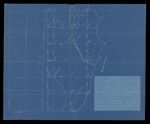
Name: Plan of Big W
Barcode:
Image Number:
Surveyor:
Publishing Location:
Date/Date Range Produced: 1894
Language:
Map Type:
Dimensions: 35 x 43 cm
Brief Description: A redraft of an earlier survey of lands in the Big W township by Turner Buswell showing a corrected boundary of public land lots.
LC Call Number: G3732.M59 1894 B8
OCLC: 1107879287
Accession Number: HT-1894-97
Donor:
Permanent URL: