Sort By:
Publisher
Date/Date Range Produced1945
Language
Region Depicted
Map Type
Dimensions89 x 120 cm
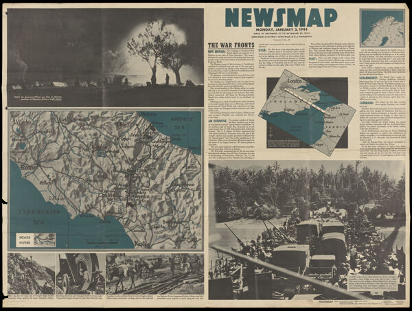
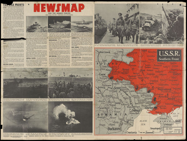
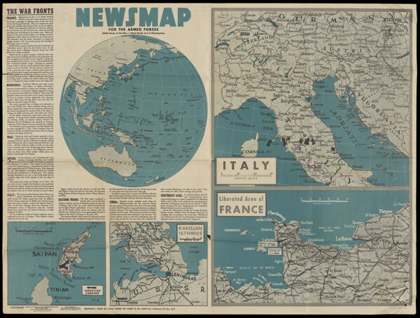
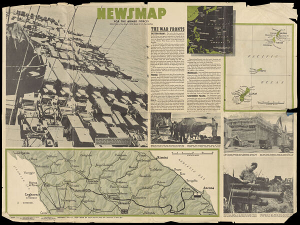
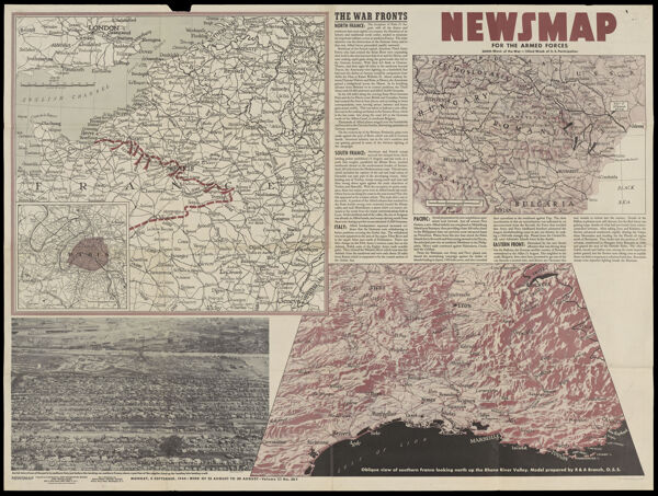
Historical ContextWorld War II map created by the Army Information Branch and published on August 20, 1945. The two atomic bombs ended the Pacific War and Japan officially surrendered on September 2, 1945 aboard the USS Missouri. This was considered officially V-J Day but it was on August 14, 1945 when the world learned of Japan's surrender.
OCLC11013660
Accession NumberOML-1945-155
See Also
Subjects
Publisher
Date/Date Range Produced1945
Language
Region Depicted
Map Type
Dimensions89 x 120 cm
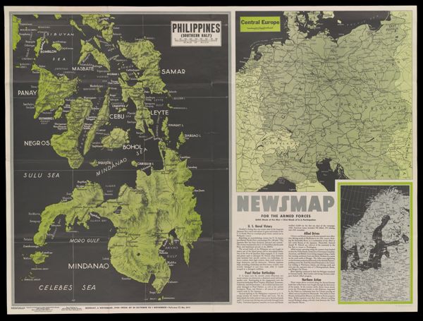
Historical ContextWorld War II map created by the Army Information Branch and published on August 20, 1945. The two atomic bombs ended the Pacific War and Japan officially surrendered on September 2, 1945 aboard the USS Missouri. This was considered officially V-J Day but it was on August 14, 1945 when the world learned of Japan's surrender.
OCLC11013660
Accession NumberOML-1945-155
See Also
Subjects