Sort By: Relevance Title A-Z Title Z-A
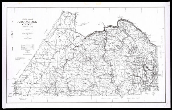
CreatorPrentiss & Carlisle Co.
PublisherPrentiss & Carlisle Co.
SurveyorAtwood, Paul E. (Paul Elliot)
Date/Date Range Produced1976
LanguageEnglish
Region DepictedAroostook County, Maine
Map TypeGeographicalPolitical maps
Dimensions68 x 50 cm. on sheet 73 x 56 cm.
Material TypePaper
Accession NumberOS-1976-15
See AlsoState of Maine Aroostook County, Northern Part
DonorOsher
SubjectsAroostook County (Me.)Geological Survey (U.S.)Maine--MapsPrentiss & Carlisle Co.