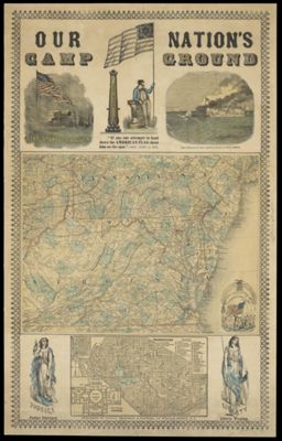
Our Nation's Camp Ground
Publisher: Ensign, Bridgman & FanningLanguage: EnglishRegion Depicted: MarylandMiddle Atlantic StatesNew JerseyPennsylvaniaVirginiaWashington D.C.Map Type: GeographicalHistorical mapsDimensions: Large map: 27 x 35 cm, small map: 12 x 20.5 cm, on sheet: 65 x 41 cm
Material Type: PaperHistorical Context: The American Civil War began on April 12, 1861 when the Confederates bombarded Fort Sumter in South Carolina. The central conflict of the war was over the expansion of slavery into western territories or prohibition from doing it. When Abraham Lincoln won the 1860 presidential election, seven Confederate slave states seceded from the United States and formed the Confederacy.
LC Call Number: G3791.R1 1861 E5
OCLC: 953569381
Accession Number: OML-1861-132
Subjects: Civil WarImage Number: 59088.0001
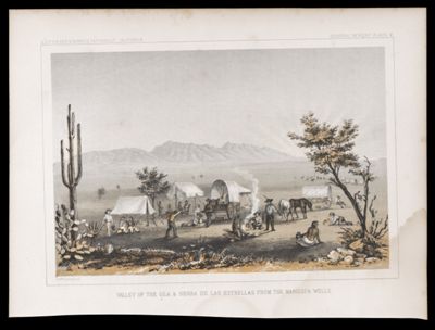
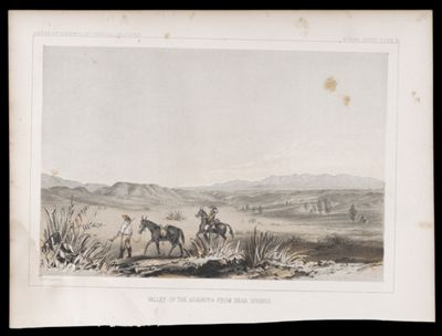
![Reports of Explorations and Surveys, to ascertain the most practicable and economical route for a railroad from the Mississippi River to the Pacific Ocean. Made under the direction of the Secretary of War, in 1853-[6] . Vol. 8 [Illustration and relevant texts only]](https://cdn1.historyit.com/iiif/2/5f34291499c4a6.60628694/6839b3889f8746.84158371.jpg/full/!400,400/0/default.jpg?no_errors=1)