
Northern Europeans sought for centuries to forge routes to Asia’s wealth through the Arctic. Merchants and settlers were already exploring parts of the northern coasts of Russia and Asia as early as the eleventh century. Attempts to open up the “...
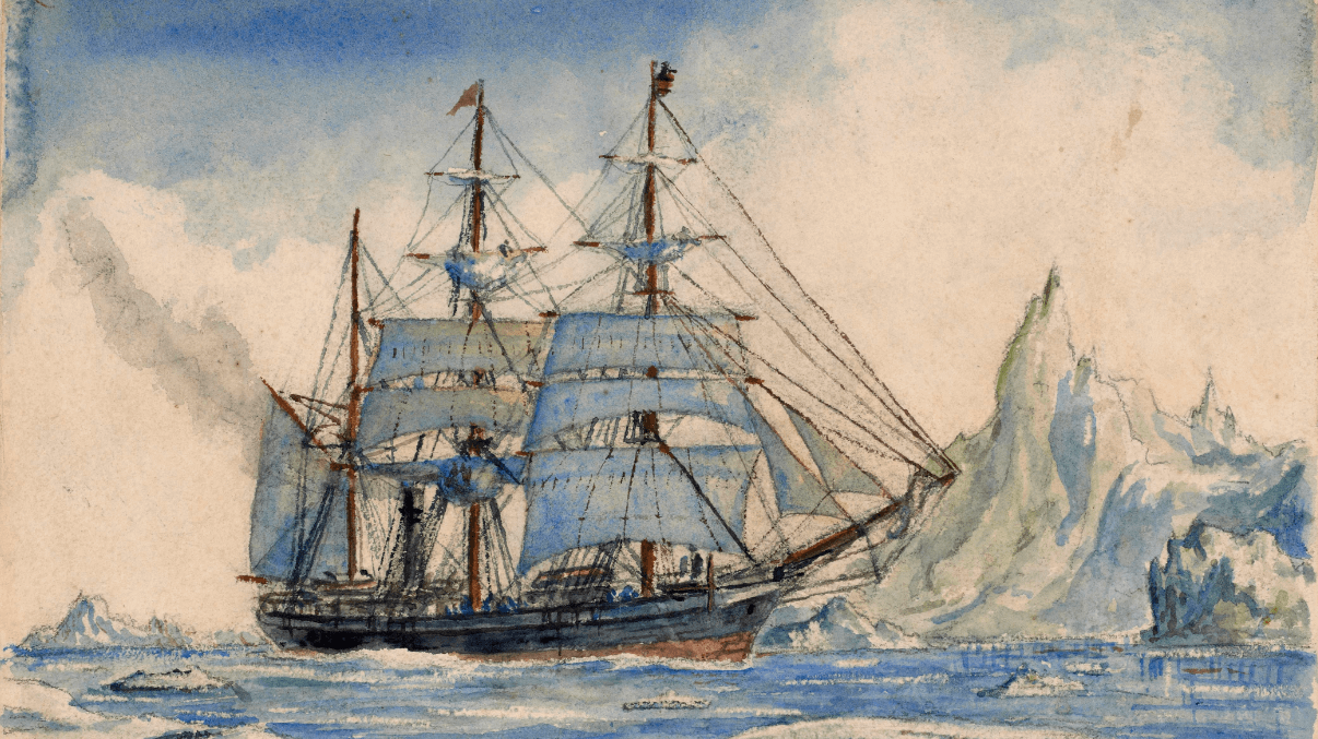
September 24, 2013 ~ February 27, 2014 ... OML is pleased to present To the Ends of the Earth... and Back: Selections from the Jay I. Kislak Polar Collection, an exhibition curated by Arthur Dunkleman, Director of the Jay I. Kislak Foundation, Miami ...
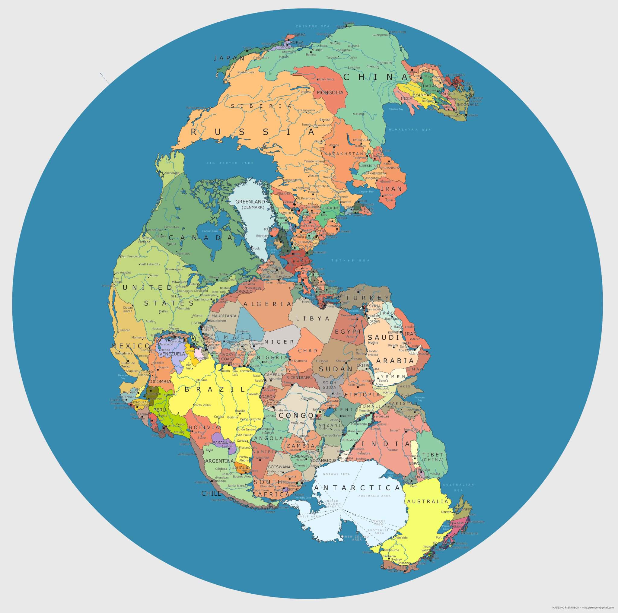
"Think about this: You wake up in New York City, decide to go for a stroll, head east after breakfast, and a short time later, still on foot, you find yourself in Morocco. Three hundred million years ago, you could have done that! There was...
The Fall/Winter 2013 issue of Cartography Corner: K-12 Education Outreach Newsletter is available for download....

Abraham Schechter at the Portland Public Library has done a nice work in getting a couple of often-used Portland atlases into a digital format. First, there's the Goodwin Atlas of 1882. Mr. Schechter writes, "Having been produced shortly before ...
There are two opposing positions in the debates swirling around the design of subway maps, and they are as inimical to each other as Good and Evil, Order and Chaos, Jedi and Trekkies. On the one hand are those that structure a subway system as a topo...
There is much more information about October's 18th series of Nebenzahl Lectures at the Newberry Library, Chicago.Entitled "The War of 1812 and American Cartography," the lectures will be held on 24-26th October, 2013, and will feature presentations ...

June 1 - August 24, 2013: Gallery & Cohen Center open from 10:30am to 2:30pmCurrent Exhibition (Gallery): Torn in Two uses historic maps, photographs, and prints to take a geographic and cartographic approach to exploring and illuminating the cau...

A collection of over forty color lithograph posters advertising war bonds from the First World War....
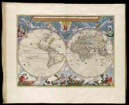
OML’s Digital Imaging Center has just uploaded volume one of the exquisite, eleven-volume Atlas Major, sive cosmographia by Joan Blaeu, published 1662-65 (SM-1662-9.1). This volume covers the Arctic, Norway and Denmark [van der Krogt, 2:601.1, OML ...