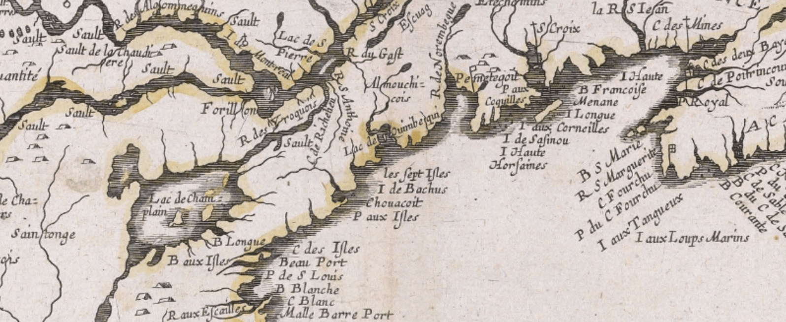
An exhibition of early maps that chronicles the effects of European exploration and settlement in north-eastern North America in creating a spatial concept called "New England."The Osher Map Library and Smith Center for Cartographic Educati...
A Traveling Exhibit at the Osher Map Library from January 24th to May 17th, 1998.This exhibition traces the development of European mapping of the African continent from the 16th to the 21st century. The maps reflect European geographers' earliest de...
An exhibition of 'cartifacts' and map memorabilia from the eighteenth century to the present, based in large part upon materials donated by Mr. Tony Naden.InformationThis exhibition is about the popular use of maps and demonstrates that form and func...

Catalog prepared by Dr. Harold L. Osher with the assistance of Peggy L. Osher and Yolanda Theunissen This web-version of the Catalog prepared by Prof. Matthew H. EdneyJerusalem's unique position among cities of the world derives from its crucial role...

Section I: Unfolding Geographic Concepts of the New World It has been said that when Columbus set out on his epic voyage he didn't know where he was going, that when he arrived he didn't know where he was, and that after his return he didn't kno...

Maps are rich in visual information and must be carefully examined to appreciate their full meaning. This is a complex process of decoding and interpreting, a process that may be considered an art in itself. One of the principal aims of this exhibiti...

Decorative Imagery on MapsThe map is a sensitive indicator of the changing thought of man, and few of his works seem to be such an excellent mirror of culture and civilization.Norman J. W. Thrower, Maps and Man, Englewood Cliffs, N.J., 1972 Maps...