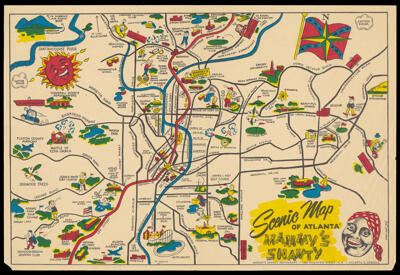
Scenic Map of Atlanta - Mammy's Shanty
Creator: Taylor, FredRegion Depicted: Atlanta, GeorgiaMap Type: GeographicalHistorical mapsPictorial mapsDimensions: 25.5 x 37.5 cm
Material Type: PaperHistorical Context: JIm Crow laws were state and local laws enacted after the Civil War that enforced segregation in the southern United States. The laws mandated segregation in just about every public place including separate water fountains, segregated schools, theaters and transportation. The Civil Rights Act of 1964 ended legal segregation.
LC Call Number: G3924.A8 1945 T3
OCLC: 1289624552
Accession Number: OML-1945-171