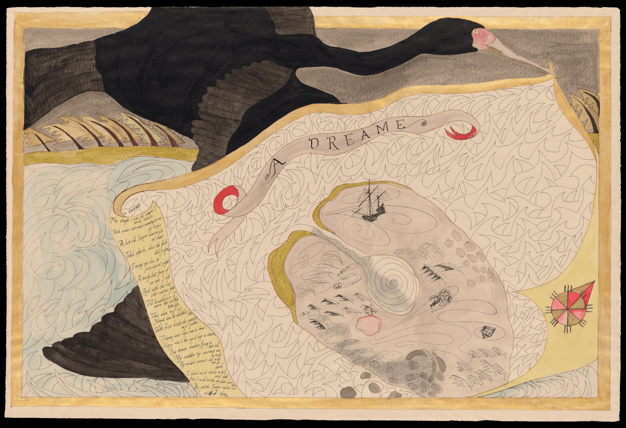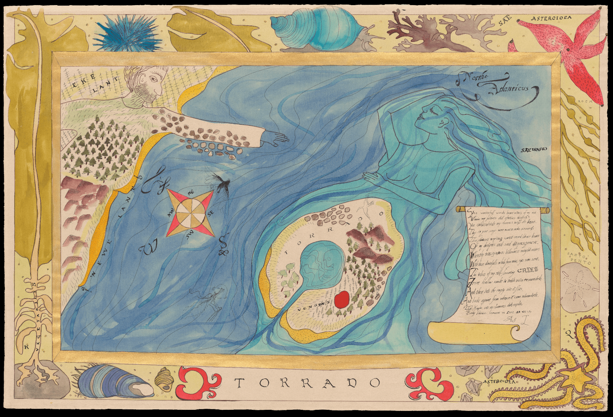
1-2. Two Maps of the Fictional Island of Torrado
Rebecca Goodale (with text by Dennis Gilbert), 1993
Courtesy of the Artist


The two manuscript maps of the fictional island of Torrado featured on this wall come from the “Insular Harmonies” series, a multimedia installation and collaboration between Rebecca Goodale (images), Dennis Gilbert (texts), John Etnier (sound track), and Jeff Haste (design/calligraphy). First mounted in 1993 in the USM Art Gallery (Gorham Campus), we are honored to feature these fantasy maps in our current exhibition.
According to the original artists’ statement: “Insular Harmonies is a fragmentary history of the fictional island of Torrado. This history is reconstructed through the biographies of four characters whose destiny brought them to Torrado in different epochs but whose shared experience supersedes the accident of their temporal isolation from one another.” The original installation integrated images and recorded texts in a quadrant design that represented four characters from different epochs: the ghost (from the Age of Polished Stones), the cartographer (from the Age of Discovery), the archeologist (from 1993), and the fetus (an as-yet unborn child in the 2511). We include fantasy maps made by contemporary Maine artists in this exhibition as a reminder of the tremendous creativity and talents of our community as well as to inspire the creation of new fantasy worlds.
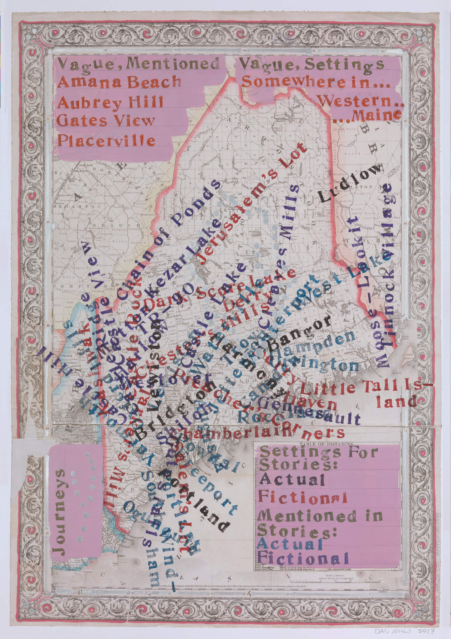
3. Stephen King Stories (Actual and Fictional Settings and Places Mentioned in Stephen King Stories, and Thoreau’s Journeys)
Dan Mills, 2017

We were delighted to acquire Maine artist Dan Mills’ map of Actual and Fictional Settings and Places mentioned in the stories and novels of Bangor, Maine, fantasy and horror author Stephen King, both for this exhibition and our permanent collection. This piece is part of a larger series related to Henry David Thoreau’s trips to Maine in the mid-19th century that Mills completed in 2017. In his own words, Mills creates “paintings and works on paper that visualize observations about historic and current events. I use the conceptual space of maps, combined with paint, collage, drawing and printmaking to explore data in highly abstracted representations that vary in size from the diminutive dimensions of an atlas page to paintings over twelve feet wide. My process begins with a question, idea, or response to a map, followed by my looking for answers by learning about the topic and investigating ways to represent it visually.” For those interested in the artistic process, this work was fashioned with acrylic, gouache, ink, and metallic paint on a digitally altered 19th-century map of the state of Maine. How many familiar (and unfamiliar) Stephen King settings can you find?