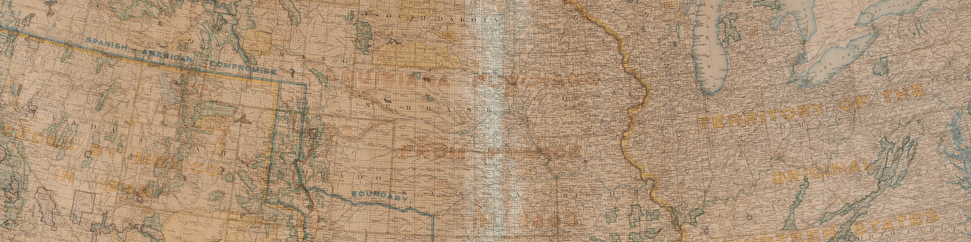
The National Geographic Society produced thousands of maps during the 20th century, each widely distributed across the United States. Originally created as a club for wealthy elites and academics who were interested in exploration, the National Geographic Society’s goal was to create “a society for the increase and diffusion of geographical knowledge.” Both the society and its most well-known publication, The National Geographic Magazine—later shortened to National Geographic—were founded in 1888.
In 1915, the Map Department of the National Geographic Society was created, although the society had been distributing maps to supplement their magazines for years. One of the maps on display, Map of Alaska [#17], was produced in 1914, a year before the creation of the Map Department, and includes a credit to Buffalo-based mapping firm, Matthews-Northrup Works. The Alaska it depicts is a vast land with few towns or roads. This map was included as a supplement to the February 1914 issue of the magazine, which featured an article by Secretary of the Interior, Franklin K. Lane, entitled “The Nation’s Undeveloped Resources.” Focusing primarily on Alaska as a land of untapped resources and potential, Lane argues that “Alaska should not… be regarded as a mere storehouse of resources upon which the people of the States may draw. She has the potentialities of a State.” Lane’s words would prove true forty-five years later when Alaska gained statehood in 1959.
Another of the maps on display, Louisiana [#18], was produced to supplement the April 1930 issue of National Geographic, which featured an article by Ralph A. Graves entitled “Louisiana, Land of Perpetual Romance.” The map shows a colorful depiction of the state and includes a large inset map of New Orleans. Graves’ article discusses the natural resources, history, and cultures of the state, and like the map, highlights the city of New Orleans.
The third National Geographic map on display, Hawaii from the magazine’s July 1960 issue [#19], shows a large view of Hawaii’s main islands as well as a depiction of the 1600 mile long chain of islands and reefs that comprise Hawaii’s territory. One of the inset maps depicts the Midway Islands under the administration of the U.S. Navy, not a surprising inclusion considering the international political climate of 1960. Hawaii, U.S.A., the first article of the July 1960 issue was written by Frederick Simpich Jr. and celebrated Hawaii’s newly won statehood, including a tagline that read, “Uncle Sam’s new island State, lighthearted and booming, hitches its star to the sixties.”
17. National Geographic Society, Map of Alaska, 1914
Donated by Sarah B. Dalton
https://oshermaps.org/map/51019
Statehood: 1959
Fun Fact: The offical state sport of Alaska is dog mushing (dog sled racing).
18. National Geographic Society, Louisiana, 1930
Moore Collection
https://oshermaps.org/map/51806
Statehood: 1812
Fun Fact: Lousiana is home to the nation’s longest continuous bridge over water, measuring 23.87 miles long.
19. National Geographic Society, Hawaii, 1960
Bonnebakker Collection
https://oshermaps.org/map/51315
Statehood: 1959
Fun Fact: Until recently, the Hawaiian islands had no snakes, and it is illegal to bring snakes into Hawaii, except for zoos.


