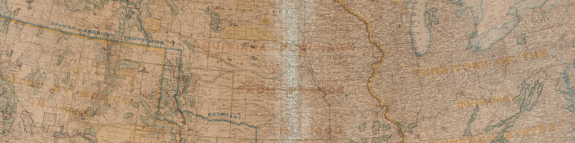
These maps of New Hampshire [#20], Alabama [#21], Colorado [#22], and Arkansas [#23] were made during the 1910s, a time of energetic automobile development. 1914 marks the year that Henry Ford perfected his assembly line production, and within two years, the the yearly number of automobiles sold topped half a million. Understandably, as more automobiles were distributed, the demand for better roads increased. One of these voices was the National Highways Association, established by Charles Henry Davis in 1911 with the slogan “Goods Road Everywhere.” Davis stated “to have Good Roads everywhere throughout the United States will mean more to this nation than any other development since the Declaration of Independence.”
One of the main achievements of the National Highways Association is the amount of literature they put out, which included over 500 maps. The draughtsmen of the maps worked extensively with State highway officials to determine the best routes of the proposed national highways. The National Highways Association argued for national highways built by the Federal government as opposed to State or local governments, a controversial argument at the time. According to the National Highways Association, a national highway would lead to a variety of benefits—”social, moral, commercial, industrial, material, education, and personal”—and ultimately “bind the States together in a common brotherhood, and thus perpetuate and preserve the Union.”
While highway development was much slower than Davis and the National Highways Association hoped, eventually the benefits of a national highway system became apparent. As Thomas MacDonald, commissioner of the Bureau of Public Roads from 1939 to 1953, wrote, “We were not a wealthy nation when we began improving our highways… but the roads themselves helped us to create a new wealth, in business and industry and land values… So it was not our wealth that made our highways possible. Rather it was our highways that made our wealth possible.”
20. National Highways Association, National Highways Map of the State of New Hampshire, 1914
French Collection
https://oshermaps.org/map/43177
Statehood: 1788
Fun Fact: Months before his famous ride in Massachusetts, Paul Revere rode to New Hampshire to raise an alarm about redcoats coming to sieze gunpowder.
21. National Highways Association, National Highways Map of the State of Alabama, 1915
French Collection
https://oshermaps.org/map/43175
Statehood: 1819
Fun Fact: The only all-water mail route in the United States exists in Magnolia Springs, Alabama.
22. National Highways Association, National Highways Map of the State of Colorado, 1919
French Collection
https://oshermaps.org/map/43179
Statehood: 1876
Fun Fact: The tallest sand dunes in North America are located in Great Sand Dunes National Park in Colorado.
23. National Highways Association, National Highways Map of the State of Arkansas, 1919
French Collection
https://oshermaps.org/map/43173
Statehood: 1836
Fun Fact: The largest diamond unearthed in the United States was in Arkansas.


