The word “diaspora” once referred exclusively to the repeated scattering of the Jews away from the kingdom of Judea. Today, “diaspora” has taken on a general meaning of the forced relocation of any people away from their homeland and into for...
Guest Curator - Robert FrenchAssociate Professor of Geography (Retired)at the University of Southern MaineLike jazz music, the automobile road map is an American innovation and is just as much a part of American culture. Road maps brought much needed...
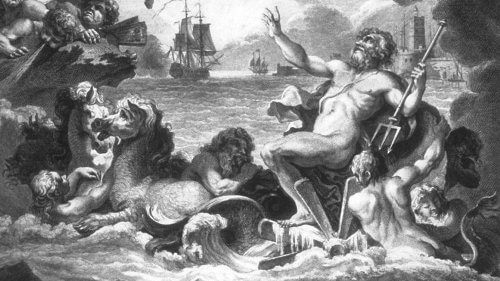
Donald S. Johnson, guest curatorEveryone is familiar with maps and the information they contain, but few are aware of the nautical chart with its special characteristics and iconography. In the absence of land, one piece of water looks like any other...
This exhibition marks the fifth anniversary of the opening of the Osher Map Library and Smith Center for Cartographic Education. It contains a selection of cartographic treasures from the map library's collections. The definition of treasure is both ...

An exhibition tracing the cartographic evolution of Iberia through a series of maps, from 1486 through 1829, donated by Dr. Peter M. Enggass, professor emeritus of Geography and Geology, Mt. Holyoke College....

This exhibition explores of the creation of a landscape of exploitation in interior Maine. The Native American use of Mt. Kineo rhyolite prefigured, on a small scale, the extensive and paradoxical exploitation after 1820 both of the region's forest r...
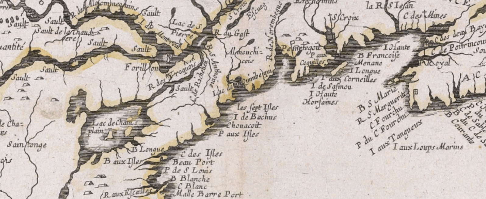
An exhibition of early maps that chronicles the effects of European exploration and settlement in north-eastern North America in creating a spatial concept called "New England."The Osher Map Library and Smith Center for Cartographic Educati...
A Traveling Exhibit at the Osher Map Library from January 24th to May 17th, 1998.This exhibition traces the development of European mapping of the African continent from the 16th to the 21st century. The maps reflect European geographers' earliest de...
An exhibition of 'cartifacts' and map memorabilia from the eighteenth century to the present, based in large part upon materials donated by Mr. Tony Naden.InformationThis exhibition is about the popular use of maps and demonstrates that form and func...

Catalog prepared by Dr. Harold L. Osher with the assistance of Peggy L. Osher and Yolanda Theunissen This web-version of the Catalog prepared by Prof. Matthew H. EdneyJerusalem's unique position among cities of the world derives from its crucial role...