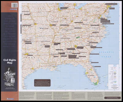
Civil rights map: monuments of the modern civil rights movement of the USA.Publisher:Michelin Travel Publications (Firm) Date/Date Range Published: 2004 Language:English Region Depicted:United States Map Type:GeographicalHistorical mapsPolitical maps Dimensions: 59 x 66 cm folded to 34 x 12 cm Material Type:Paper Historical Context: The Civil Rights Movement, 1954-1968 was preceded by decades of struggle to end discrimination, racial segregation and disenfranchisement. Led by inspirational leaders such as Dr. Martin Luther King, Jr. and John Lewis and the actions of Rosa Parks who refused to give up her bus seat ignited the movement of protest against inequality and led to the Civil Rights Act of 1964. LC Call Number: G3701.E625 2004 M5 OCLC: 166889260 Accession Number: OML-2004-69 Subjects:Civil Rights Movement
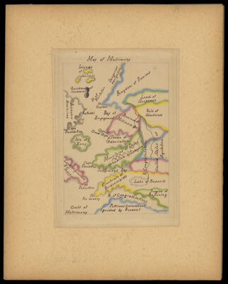
London, England Dimensions: 2 maps on 1 sheet,color ; each 22 cm diam. on sheet 53 x 67 cm folded to 18 x 11 cm LC Call Number: G5751.E65 1987.A22 OCLC: 17640772 Accession Number: OML-1987-132 Subjects:Literature