Supporting Research with Old Maps. Because old maps are rich repositories of information from many fields of knowledge, they are a valuable resource to researchers of all ages and interests and not only to specialized map historians. Our nineteenth-century collections are of special interest for genealogists. Moreover, we are collaborating with Historic Map Works, Inc. (www.historicmapworks.com) to digitize the maps and make them available online.
The materials in this section are all from the 2,000 volumes of the Charles and Dalinda Carpenter Collection. These state and county atlases, gazetteers, and local histories from the nineteenth and twentieth century provide a wealth of information about land ownership and social change in the United States.
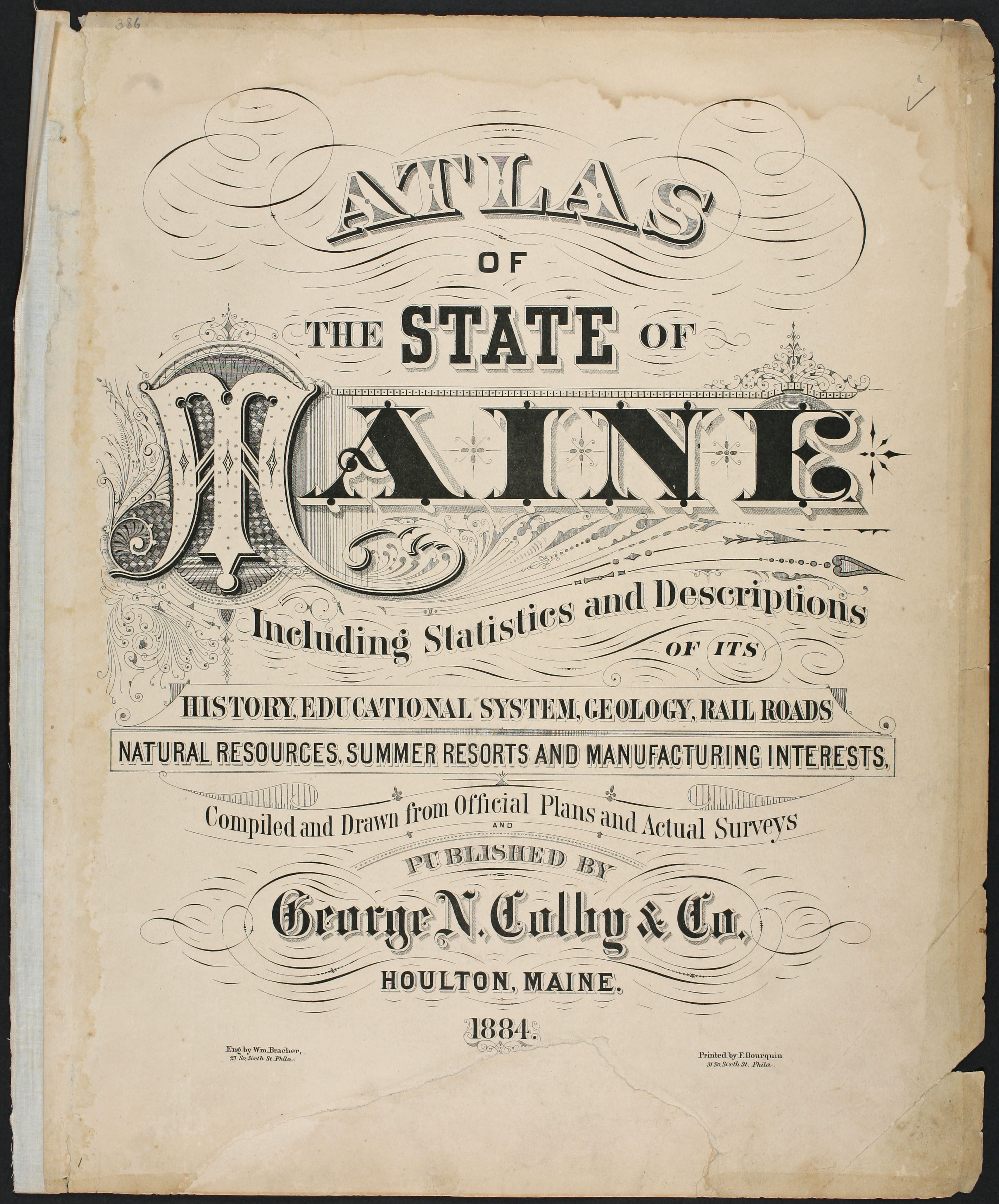
George N. Colby (1846-1889)
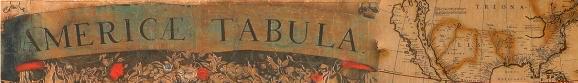
Atlas of the State of Maine Including Statistics and Descriptions of its History (Houlton, Me., 1884)
Lithographs, hand colored with water color; each page 42cm x 32cm
Carpenter Collection

Biographical Review: This Volume Contains Biographical Sketches of Leading Citizens of Cumberland County, Maine (Boston: Biographical Review Pub. Co., 1896), 37 and facing.
Lithograph; 29cm high (paper)
Carpenter Collection

Sylvester Breakmore Beckett (1812-1882)
The Portland Directory and Reference Book, with Business Directory Attached, for 1869 (Portland, Me.: by B. Thurston and Company, 1869), 264-65
Lithograph; 22.5cm high
Carpenter Collection
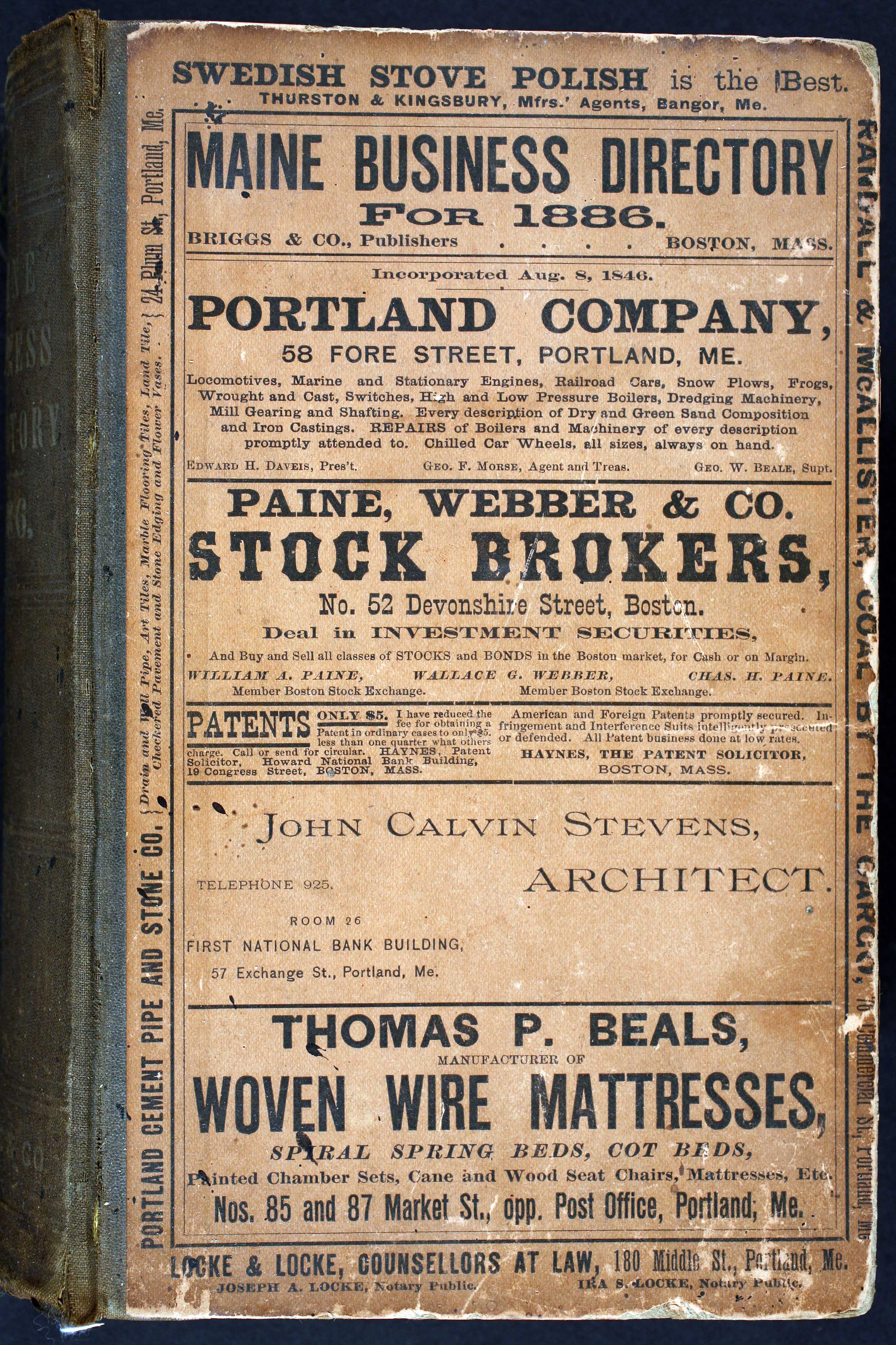
Cover of Maine Business Directory for 1886 (Boston, Mass.: Briggs & Co. Publishers, 1886)
Lithograph on colored paper; 24cm high
Carpenter Collection