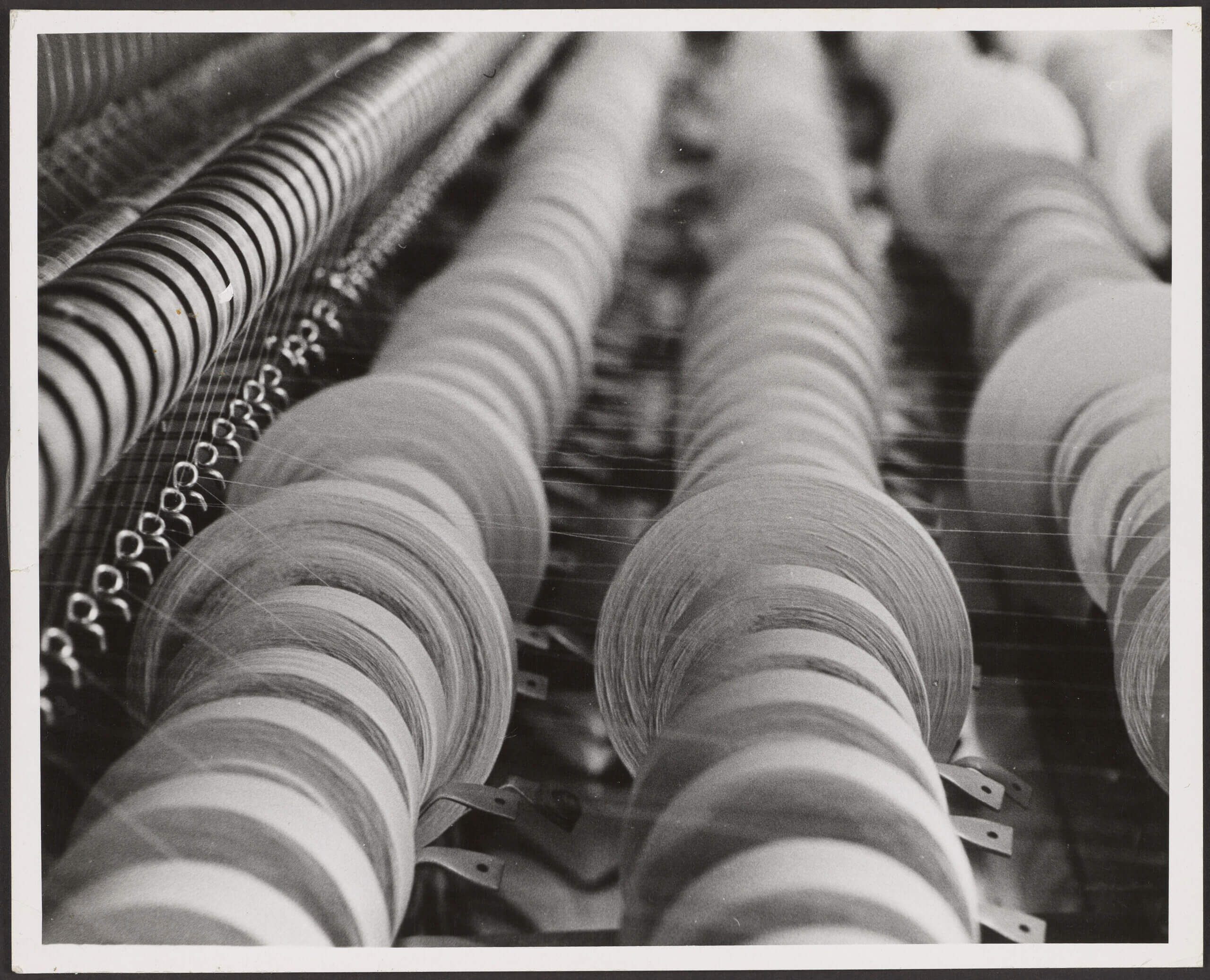
The Osher Map Library’s recent acquisition of a collection of textile mill insurance plans from the American Textile History Museum provided the inspiration for this exhibition. Thematically, the exhibit addresses the temporal, geographic, and demographic components of New England’s textile industry from the early 19th century until the middle of the 20th century. Geographically, it highlights Lowell and Lawrence, Massachusetts, where the large integrated textile industry originated. It also includes several Maine and New Hampshire towns which are representative of the industry as it matured and spread throughout the region. The display features a sampling of the textile mill plans. It is supplemented by several types of more common contemporary maps: bird’s eye views, city plans, real estate atlases, urban fire insurance maps, and thematic maps. Together, the selected maps provide a broader context for understanding the development of this foundational industry which was integral to the region’s urbanization, industrialization, population growth and diversification, and labor unionization.
Industry, Wealth, and Labor: Mapping New England Textile History
1. Introduction
2. Examples of Site-Specific Fire Insurance Plans
3. Biddeford-Saco
4. Lowell
5. Lewiston-Auburn
6. Lawrence
7. “Bread and Roses Strike of 1912”
8. New England Railroads and Textile Mill Towns
9. Southern Cotton and the New England Textile Industry
10. Salmon Falls Manufacturing Company
11. Workers’ Experience
12. Miscellaneous