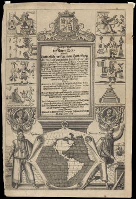
[Untitled title page of part XII- Descriptio Indiae Occidentalis]
Although created for the purpose of correctly detailing the inhabitants and geography of the New World, California now appears as an island.
Theodore de Bry, Antonio de Herrera, 1623
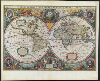
Nova Totivs Terrarvm Orbis Geographica ac Hydrographica Tabvla. Auct: Henr. Hondio
One of the great examples of the Golden Age of Dutch Cartography, this highly embellished map details the new settlements in Pleymouth and Virginia.
Jan Jansson, Hendrik Hondius, Amsterdam, 1630
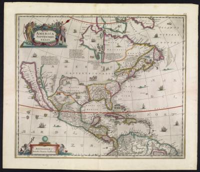
America Septentrionalis
Jan Jansson, Amsterdam, 1641
Le Nouveau Mexique et la Floride: Tirees de diverses Cartes, et Relations. Par N. Sanson d’Abbeville Georgr odre du Roy
Made for the French earliest map to focus on the Spanish territories, Sanson’s work became the model future mapmakers would use to chart territories from Florida to California. It is also considered one of the two most influential maps concerning the depiction of California as an island.
Pierre Mariette, Nicolas Sanson, Paris, 1656
Novissima et Accuratissima Totius Americae Descriptio. per F. De Wit. Amstelodami.
It is interesting that, athough this map insists on showing California as an island, it admits to knowing little about what lies to the north.
Frederik de Wit, Amsterdam, 1670
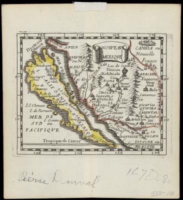
Nouveau Mexique
Despite the focus on the island, this map boasts updated nomenclature of the region, a prized possession to map collectors and armchair historians of the time.
Pierre Duval, Paris, 1670
America with those known parts in that unknowne worlde both people and manner of buildings Discribed and inlarged by I. S. Ano 1626
The first publication of this work in 1626, was the first atlas map to show California as an island.
John Speed, circa 1676
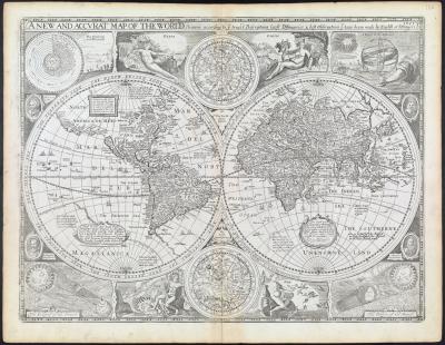
A New and Accurat Map of the World drawne according to ye truest Descriptions latest Discoveries & best Observations that have beene made by English or strangers. 1651
In addition to the island, this map overestimates the northern region of present-day Canada and Alaska.
John Speed, Richard Chriswell, London, 1676
L’Ameriqve autrement le Novveav Monde et Indes Occidentales
This map shows a surprising lack of detail, especially on the island of California.
Pierre Duval, Paris, 1684
Orbis Terrarum Nova et Accuratissima Tabula. Auctore Nicolao Visscher.
Nicolaes Visscher, circa 1689
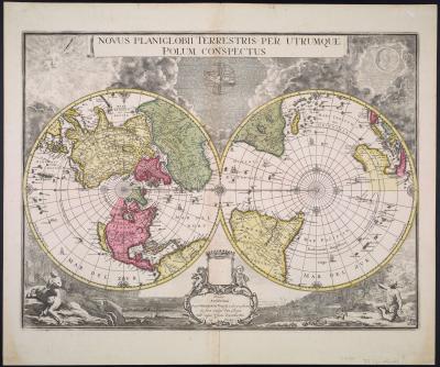
Novus Planiglobii Terrestris per Ultrumque Polum Conspectus
This is one of only two of Blaeu’s maps to depict California as an island.
Joan Blaeu, Gerard Valck, Amsterdam, 1695
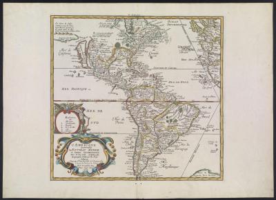
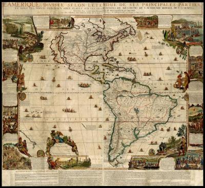
L’Amerique, divisee selon l’etendue de ses Principales Parties, et dont les Points Principaux sont placez sur les Observations de Messieurs de L’Academie Royale des Science. Dressee Par N. de Fer, Geographe de Monseigneur le Dauphin.
Nicolas de Fer, Paris, 1698-1705
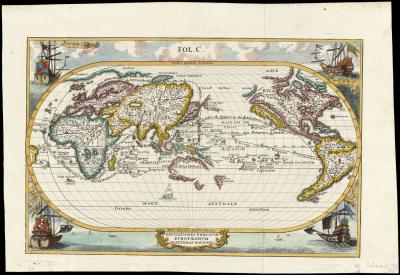
Navigationes Praecipuae Europaeorum Ad Exteras Nationes.
Heinrich Scherer, Munich, 1700-1710
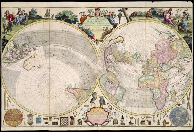
Planisphere Terrestre. Suivant les nouvelles Observations des Astronomes. Dresse et presente au Roy tres Chretien par M.r Cassini le Fils, de l’Acadamie Royal des Sciences. A Leide Chez Pierre vander Aa. Avec Privilege.
Although the eighteenth century saw the gradual decline of this cartographic myth, many mapmakers continued to depict it for yet another century.
Pieter van der Aa, Jean-Dominique Cassini, Leiden, 1713
A New and Correct Map of the World Projected upon the Plane of the Horizon laid down from the Newest Discoveries and most Exact Observations By C. Prince Sold by G Willdey at the Great Toy Shop next the Dog Tavern in Ludgate where may be had several other
Charles Price, George Willdey, 1714
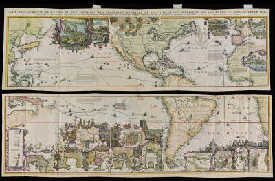
Carte tres curieuse de la mer du sud, contenant des remarques nouvelles et tres utiles non seulement sur les ports et iles de cette mer: mais aussy sur les principaux pays de l’Amerique tant Septentrionale que Meridionale, avec les noms & la route des voy
Henri Abraham Chatelain, Amsterdam, 1719
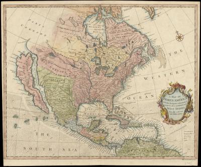
A Map of North America With the European Settlements & whatever is is remarkable in ye West Indies, from the latest and best observations.