
Portland and Ogdensburg Railroad Company, The Port-land and Ogdensburg Railroad Line, Eastern division. Vermont division : the resources, population, wealth, business, manufacturing capabilities, and tourist attractions of the country tributary thereto : also, its relation to the territory and commerce of the Great Lakes, 1872.
Osher Book Collection.
www.oshermaps.org/map/7809
Bangor and Aroostook Railroad Company, In the Maine Woods : The Vacationists’ Guidebook published by the Bangor & Aroostook Railroad Company, Bangor, Maine, F.W. Cram, president W.M. Brown, gen’l supr. C.C. Brown, gen’l passenger & ticket agent, 1906.
Osher Book Collection.
www.oshermaps.org/map/8165
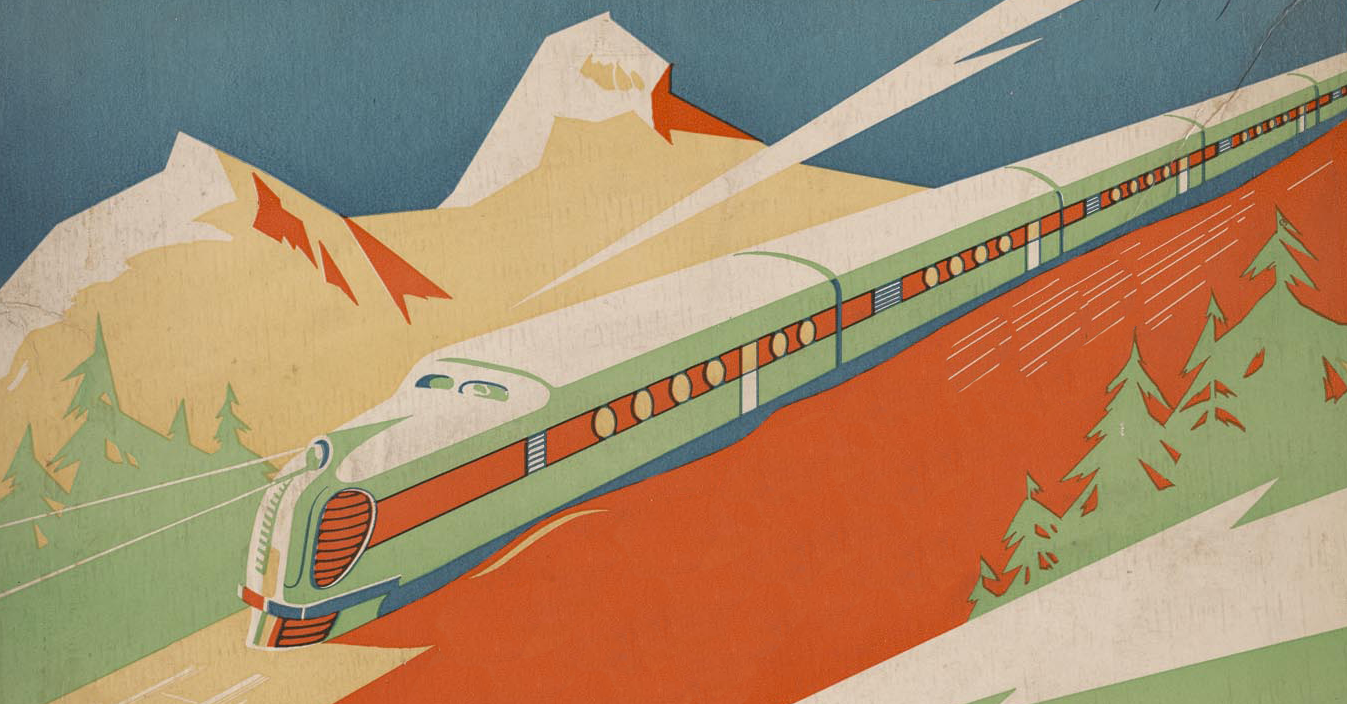
The Pullman Company, Evolution of the Pullman Car: Pullman Facts No. 2, circa 1930.
Osher Map Library Ephemera Collection.
www.oshermaps.org/map/45128
Charles A.J. Farrar, Farrar’s Illustrated Guide Book to Moosehead Lake, Katahdin Iron Works and Vicinity, 1889.
Hamilton-Thayer Book Collection.
www.oshermaps.org/map/52229
Modern Uniform Cap Mfg. Co., Railroad Conductor’s Cap,
Courtesy of the Maine Narrow Gauge Railroad Co. & Museum.
Railway Regulator Company, Great Western Railway Watch.
Courtesy of the Maine Narrow Gauge Railroad Co. & Museum
New York, New Haven and Hartford Railroad, Railroad Lantern, circa 1950s.
Courtesy of the Seashore Trolley Museum.
Maine Central Railroad, Railroad Lantern, 1936.
Courtesy of Mark Matteau.
HO Scale Santa Fe Railway Refrigerator Car.
Courtesy of Brandon Kulik.
John A. Poor, Map of Portland from Commercial, railway, and ship building, statistics, of the city of Portland, and the state of Maine : prepared to accompany the Second report of the Commissioners on Portland Harbor, 1855.
Osher Map Library Book Collection.
www.oshermaps.org/map/49988
Digitized Item(s)
Portland and Ogdensburg Railroad Company, The Port-land and Ogdensburg Railroad Line, Eastern division. Vermont division : the resources, population, wealth, business, manufacturing capabilities, and tourist attractions of the country tributary thereto : also, its relation to the territory and commerce of the Great Lakes, 1872. (www.oshermaps.org/map/7809)
John A. Poor, Map of Portland from Commercial, railway, and ship building, statistics, of the city of Portland, and the state of Maine : prepared to accompany the Second report of the Commissioners on Portland Harbor, 1855. (www.oshermaps.org/map/49988)