This landmark map was the first individually printed map to focus on the Arctic. Depicted as it was described in legends, the North Pole appears as a massive rock surrounded by circulating waters, which feed four rivers between four large islands. Interestingly, Magnetic North is denoted with a separate island between Asia and North America, just north of the Strait of Anian. The map also depicts the attempts of Frobisher and Davis to locate the northern passages to Asia.
In the North Atlantic, an interestingly-shaped Greenland looms over Iceland and the mythical island of Frisland. Iceland is drawn similarly to its depictions on the maps of Ortelius, derived from indigenous sources, and several named towns are imagined on the island of Frisland. Frisland is shown again in one of the four roundels at the corners of the map’s florally decorated border; the other three roundels feature the Faeroe Isles, the Shetland Isles, and the title of the map.
15. Gerhard Mercator, Septentrionalium Terrarum descriptio (1633).
Osher Collection
URL: www.oshermaps.org/map/393
This map is considered one of the most visually dramatic and interesting maps of the North Pole. Wind-heads nestled within clouds surround the title cartouche, and below the coat of arms in the top-center of the map, a portrayal of multicolored clouds encloses a panel of text describing the Northern Lights. The map does not include the imaginary geography that appears on many maps of this time period, instead showing only regions verified by exploration, with notations citing the particular voyages or explorer. Questionable regions are shown by indistinct, faintly engraved lines.
16. Jacques Peeters, Terre Artiche (1709).
Osher Collection
URL: www.oshermaps.org/map/586
In 1636, Frederick De Wit’s map of the Arctic regions replaced Mercator’s map (Item 15) in the heavily produced Mercator/Hondius atlases. The cartography is based on Henry Briggs’ work, incorporating much of the knowledge gained by the English in their search for a Northwest Passage to Asia. The auspiciously named “Great Bay of God’s Deliverance” sits on the southern edge of Hudson Bay, along with another inlet labeled “Iames his Bay.”
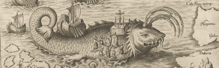
Hudson’s explorations are evidenced in many of the names, including the label “Ne Ultra” beside an inlet at the northernmost edge of Buttons Bay, indicating the point at which they could go no further. The influence of Dutch explorations is also reflected in the map; there are several Dutch names in Labrador, some of which had not appeared on any previous map. Dutch commercial activity in the region is depicted in the fascinating whaling scenes that surround the map’s edges, which also contain images of seals, cormorants, and many types of ships and boats.
17. Frederick de Wit, Poli Arctici, et Circumiacentium Terrarum Descriptio Novissima from Atlas bij Frederick de Wit (1680).
Smith Collection
URL: www.oshermaps.org/map/4091.0204c
Utilizing an azimuthal equidistant projection centered on the North Pole, this world map represents an important step in the history of mapping; it is considered the first strictly scientific map of the world and the first map to set standard longitudes for known places based on scientific calculations. Derived from the famous 1696 Cassini-Nolin Planisphere, the map was developed using data collected at many observatories in distant places, such as Malacca, Nanking, and Guadeloupe. Despite its superior accuracy to maps of its time, this map still depicts two viable options for a Northwest Passage. It also shows California as an island, a practice that became gradually less common during the early 18th century after the report of an overland expedition led by Jesuit priest Eusebio Kino was made available in 1705, strongly contradicting the notion.
18. Jean-Dominique Cassini, Planisphere Terrestre (1713).
Osher Collection
URL: www.oshermaps.org/map/592


