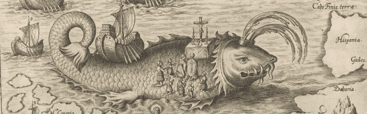
A major milestone in Arctic cartography, this map illustrates details of Willem Barentsz’s third voyage to this region from 1596 to 1597. Barentsz believed that a Northeastern Passage to the Pacific existed in the Arctic waters, reasoning that, because the ocean was exposed to the sun for 24 hours a day during summer, it must consist of open waters above Siberia. During the last decade of the 16th century, Barentsz made three voyages into regions surrounding the North Pole. On his third voyage, after becoming stuck on the ice and forced to winter in the Arctic, Barentsz utilized his excess time creating an elaborate and highly decorative manuscript map illustrating his observations; his map contains 34 pictures of sea monsters, ships, whales, and an island named “Polus Magnetis.” This map became the foundation on which all further eastern Arctic exploration was predicated, making it one of the most consequential maps of its era.
11. Willem Barents, Deliniatio Cartae Trium navigationum per Batavos, ad Septentrionalem plagam… (1598).
Osher Collection
URL: www.oshermaps.org/map/341
Considered a prototype of maps of the Arctic, this map incorporates new information from the explorations of Barentsz, Baffin, Frobisher, Hall, Davis, and Captain Thomas James, whose discovery of a bay is marked with the label, “James his Bay.” The Arctic coast of Russia features information from Willem Barentsz’ voyage, and Spitsbergen is shown according to surveys by the Danish expedition of James Hall. Rhumb lines radiate from the North Pole, and a large title cartouche featuring two figures and numerous wind heads conveniently hides the northwest coast of America; this map’s depiction of Greenland as connected to the main North American landmass would have been controversial, because it disavows the possibility of the famous “Northwest Passage.” However, the map does suggest the existence of a Northeast Passage by showing the Siberian coastline intact and the sea clear of any barriers.
12. Willem Blaeu, Regiones Sub Polo Arctico (1645).
Osher Collection
URL: www.oshermaps.org/map/428
This beautiful chart of Hudson Bay, Baffin Bay, Button Bay, Davis Straits, and contiguous parts of the coastline of Canada and Greenland appeared in Louis Renard’s Atlas de la Navigation, one of the most striking products of Dutch maritime cartography. The atlas was updated in 1739 and 1745, and this concern with accuracy leads many historians to believe that the atlas was intended not only for consultation on shore, but also for use at sea.
The chart’s cartouches, beautifully etched by Romeyn de Hooghe, illustrate the Dutch goals in exploring the region. At bottom center, American Indians and Dutch merchants haggle vigorously over beaver pelts, turkeys, and other trade goods. A more classical scene is presented towards the upper left: a ship-hatted and cornucopia-bearing goddess stands next to Mercury, the Roman god of trade, travel, and communication. With his divider caliper applied to the Arctic regions of a globe, Mercury appears to contemplate the possible outlets for a Northwest Passage on the map, his gaze leveled towards “Aldermans Ionas Sound” and “St. James Lancaster’s Sound.”
13. Frederick de Wit, Septentrionaliora Americae Groenlandia (1739).
Smith Collection
URL: www.oshermaps.org/map/1866
Moses Pitt’s map of the North Pole, considered the most attractive English maps of the Arctic regions, is the only original that Pitt produced to be included in a proposed 12 volume atlas; the project ultimately failed, and Pitt landed in debtor’s prison. The map features a combination of outdated cartography and newly collected information, such as the relatively accurate depiction of Hudson and Baffin bays. The unusual three-island configuration of northern Labrador in Canada is derived in part from Sanson’s map of 1656. Pitt also includes the mythical island of “Freesland,” complete with several place names, and shows Forbishers Strait bisecting the southern tip of Greenland. Interestingly, the map portrays both a Northwest and Northeast Passage. An annotated inset map shows the most recent knowledge concerning Nova Zembla, based on Russian, German and Dutch sources. Emphasizing the importance of whaling in the region, the title cartouche features whaling scenes, walruses, narwhals, and Inuit people in their kayaks.
14. Moses Pitt, A Map of the North-Pole and the Parts Adjoining (1680).
Osher Collection
URL: www.oshermaps.org/map/506


