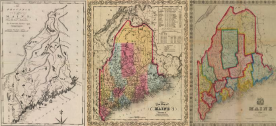

By the 1850s, Joseph Hutchins Colton (1800-1893) was the preeminent U.S. geographic publisher. Working in New York, he produced a wide variety of guidebooks, atlases, wall maps [map 33], gazetteers, pocket maps [34], and travel guides covering all parts of the country. His maps generally possessed distinctive, ornate borders (an exception being map 37). Colton’s two-volume Atlas of the World, attributed to his son George Woolworth Colton (1827-1901), featured a Maine map that appeared in no less than twelve updated versions between 1855 and 1860 [35-36].
Joseph H. Colton
Colton’s Railroad & Township Map of the State of Maine
New York: J. H. Colton, 1853.
Lithograph, hand-colored; 86.5cm x 69cm
Thompson, no. 140 — State II
Joseph H. Colton
Maine
New York: J. H. Colton, 1854.
Lithograph, hand-colored; 40.5cm x 32cm, folding to 12cm x 7.5cm
Thompson, no. 145 — State II
Joseph H. Colton
Maine
From George W. Colton, Colton’s Atlas of the World (New York, 1855)
Lithograph, hand-colored; 40.5cm x 32.5cm
Thompson, no. 148-v — State V (variant)
Joseph H. Colton
Maine
From George W. Colton, Colton’s General Atlas (New York, 1857)
Lithograph, hand-colored; 35.5cm x 28.5cm
Thompson, no. 150 — State VII