
As it happened, Samuel Holland’s neatly defined image of the port-village in Falmouth (Section 1) was already out of date when it first appeared in print in 1776. On 18 October 1775, Lt. Henry Mowat, who a few years previously had undertaken the hydrographic survey of the harbor for Holland, stood off in the Fore River in HMS Canceaux and, with four other vessels, bombarded the village. Mowat had issued a warning so there was remarkably little loss of life, but there was not enough time for residents to remove their belongings or for the ships in the harbor to set sail. As a result, between two-thirds and three-quarters of the settlement was destroyed and all the shipping in the harbor was either sunk or taken (Yerxa 1975; Leamon 2005).
This newsworthy event stoked anti-British resentment and was commemorated in 1782 with an “artist’s impression” of the terrible event, engraved by John Norman in Boston. The view was prepared for inclusion in a series of pamphlets that were part of a larger public debate in Boston and New England about the meaning and consequences of the Revolution and that were published on the eve of the final peace treaty with Great Britain. As with Small’s 1761 map (Section 1), which was interested only in the nucleatedness of the town, this view focused on the built environment in the moment of its destruction, as a symbol of British perfidy. It said nothing about the nature of the community:
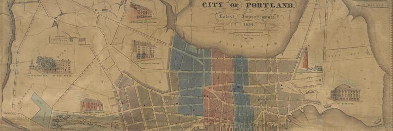
[The Town of Falmouth, Burnt by Captain Moet, Octbr. 18th 1775, engr. John Norman, frontispiece of the first issue in the second set of pamphlets comprising An Impartial History of the War in America (Boston: Coverly & Hodge, 1782). The title page to the pamphlet recorded that it was “Adorned with a beautiful Copper-Plate, representing the burning of the Town of Falmouth, by Capt. Mowat, in the year 1776 [sic].” Maine Historical Society holds the engraved copper plate of this image. Nathan Goold (1897, 32) included a rather crude facsimile originally prepared by the Portland Press. Copper engraving, 17 x 30 cm. Osher Map Library and Smith Center for Cartographic Education, University of Southern Maine. OS-1782-10. Click on map for high-resolution image.]
Cite this Page
Edney, Matthew H. “An Early View of Mowat’s Burning of Falmouth, 1775.” Section 2 of “References to the Fore! Local Boosters, Historians, and Engineers Map Antebellum Portland, Maine.” www.oshermaps.org/special-map-exhibit/references-to-the-fore. Published online, 1 July 2017.