Are you a classroom teacher within the Greater Portland area? We are happy to lend high-quality printed reproductions of this map set at no cost as part of an Activity Kit for use in your classroom. The kit will also include a variety of age-appropriate worksheet activities, answer keys, hands-on craft or game, and all necessary instructions. If within a 30 minute drive from Portland, OML educators will deliver and pick up the activity kit from your school office. Please contact Renee Keul at renee.keul@maine.edu for more information or to reserve this map set. You may also reserve this map set at oshermaps.org/teach/activity-kits
Use these activities and maps to explore the changes that occurred in Maine from the time it was a district of Massachusetts valued largely for its lumber through its transformation into ‘Vacationland’.
In creating this Learn at Home theme, we have tried to make it as customizable as possible so it can be used with a variety of ages and skill sets. The “Independent Use” worksheets can be done apart from the Map Set, and have been created as PDF Forms so they do not need to be printed for your students to complete. The “Map Set” worksheets are also created as PDF Forms and use the maps listed below (or downloadable as a PDF).
Challenge Questions Sheet (to be used with map set below) — Answers
Français – عربي – Española – Português
Note: The translated documents may contain errors, as they were generated through Google Translate.
Scavenger Hunt (to be used with map set below) — Potential Answers
Discussion Questions (to be used with map set below) — Potential Answers
Map Observation and Discussion Activity (to be used with maps below)
Map Research Activity (to be used with map set below)
Primary Source Analysis Tool (to be used with map set below)
Wabanaki Place Name Activity (use with maps and letter clues below) — Answers — Post-Teaching
Place Names Translation Map
Français – عربي – Española – Português
Note: The translated documents may contain errors, as they were generated through Google Translate.
Maine Geography and Landmarks Scavenger Hunt (use with maps and letter clues below) — Answers
Alternative Focus: Using Map Scales with Maine Maps (use with maps below) — Answers
Crossword Puzzle (can be used independently)
Earliest Map of Maine Worksheet (can be used independently)

1755, Thomas Johnston, “A Plan of Kennebek & Sagadahok Rivers” – https://oshermaps.org/map/7404.0013
Letter Clue: T
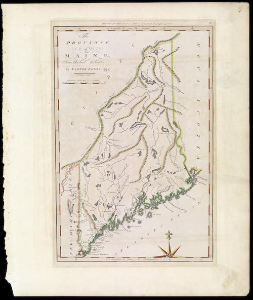
1794, Samuel Lewis, “The Province of Maine, From the best Authorities” – https://oshermaps.org/map/12816
Letter Clue: A
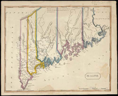
1812, Aaron Arrowsmith, “Maine”- https://oshermaps.org/map/924
Letter Clue: I
1820, Moses Greenleaf, “A Map of the State of Maine from the Latest and Best Authorities” – https://oshermaps.org/map/931
Letter Clue: H
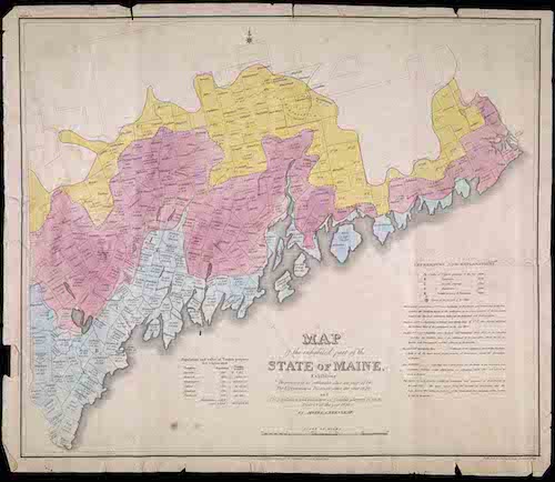
1829, Moses Greenleaf, “A Map of the Inhabited Part of State of Maine”- https://oshermaps.org/map/11905
Letter Clue: D
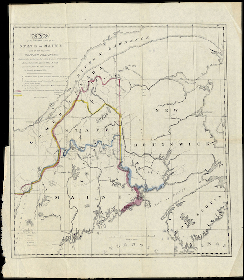
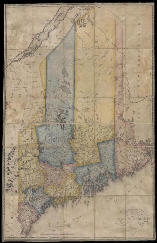
1838, S.L. Dashiell, “Map of the Northern Part of the State of Maine and of the adjacent British provinces” – https://oshermaps.org/map/1003
Letter Clue: E
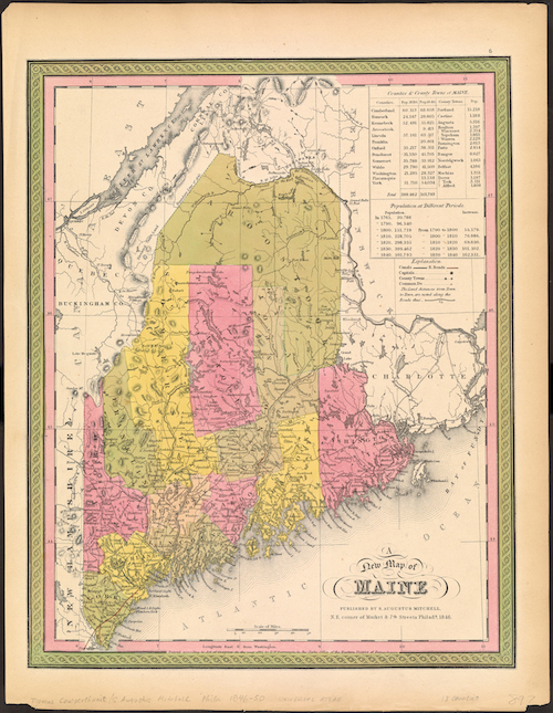
1846, Samuel Augustus Mitchell, “A New Map of Maine” – https://oshermaps.org/map/1036
Letter Clue: W
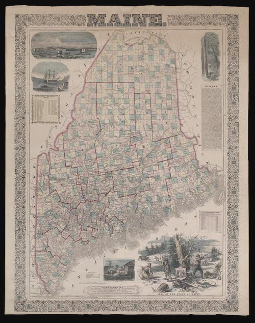
1850, Samuel Griswold Goodrich, “Maine” – https://oshermaps.org/map/7654.0017
Letter Clue: V
1860, Ensign, Bridgman & Fanning, “Maine” – https://oshermaps.org/map/1092
Letter Clue: U
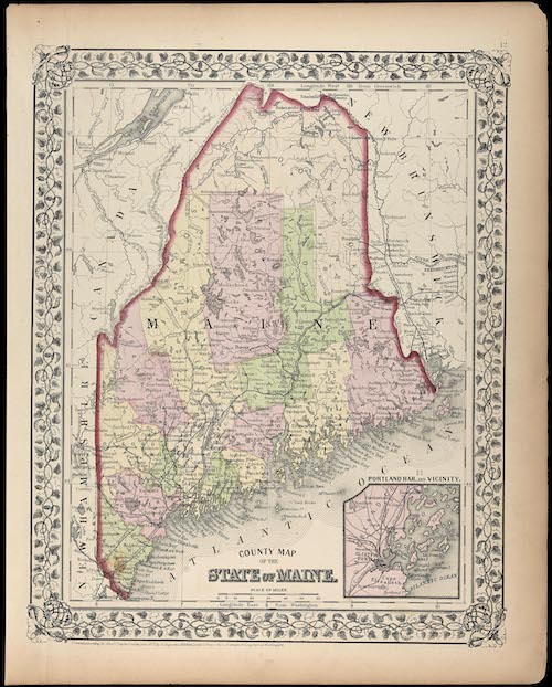
1872, Samuel Augustus Mitchell, “County Map of the State of Maine” – https://oshermaps.org/map/42746
Letter Clue: S
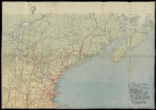
c.1900, Boston & Maine Railroad, “Tourist Map of the Boston and Maine Railroad” – https://oshermaps.org/map/11723
Letter Clue: L

1910, Matthews-Northrup Works, “Summer Resorts of the Coast, Lake and Mountain Regions along the Boston & Maine Railroad and Connections” – https://oshermaps.org/map/1385
Letter Clue: B
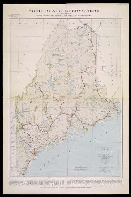
1915, John C Mulford, “National highways map of the state of Maine” – https://oshermaps.org/map/43165
Letter Clue: Y
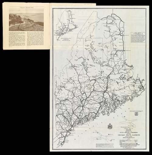
1927, Maine State Highway Commission, “Official Map of Maine prepared by State Highway Commission” – https://oshermaps.org/map/1454.0024
Letter Clue: N
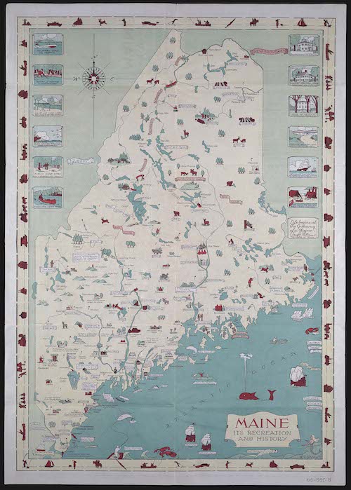
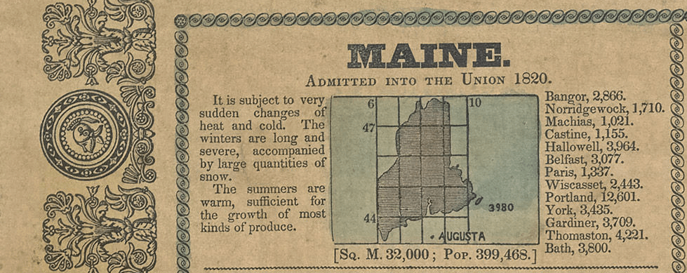
1935, M.C. Linscott, “Maine It’s Recreation and History” – https://oshermaps.org/map/3980
Letter Clue: K
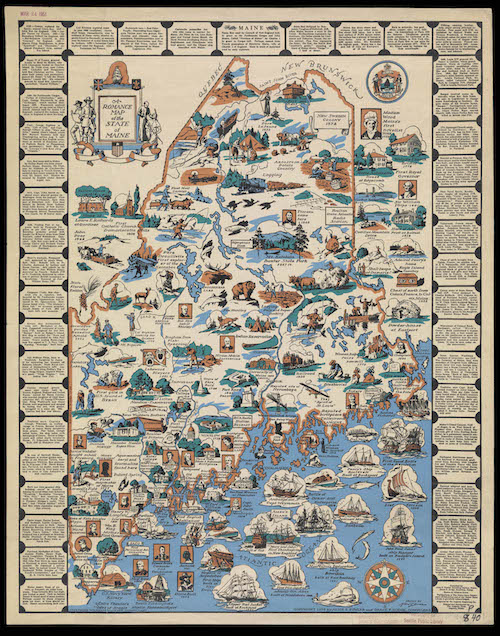
1936, Grace Dodge, Alice Fowler, Mildred C. Green, “A Romance Map of the State of Maine” – https://oshermaps.org/map/12068
Letter Clue: O
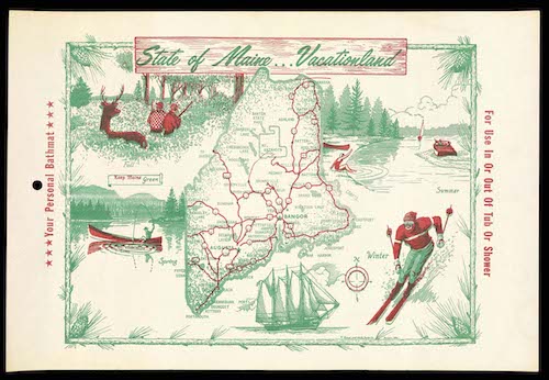
c.1960, The Brown and White Paper Co., “State of Maine… Vacationland” – https://oshermaps.org/map/12088
Letter Clue: R